AIR Commander ENTIRE
is the most advanced Geotagging solution on the market. Your GPS or RTK coordinates and Gimbal angles* goes directly to EXIF data of photos in the Sony or PhaseOne industrial camera memory card. Entire is fully compatible with DJI flight controllers A3/N3/M600 and also Pixhawk. The whole process is fully automatic and the user is not needed for any interaction.
“GPS or RTK coordinates and Gimbal angles* directly to EXIF of photos in the camera memory card”

MAVLINK
compatible

DJI API
compatible
How does the geotagging process work on Sony cameras?

In the moment of takeoff
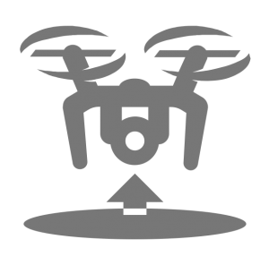
The Entire will automatically recognize, that drone has took-off from DJI API connection or Pixhawk MavLink. At that moment, Entire capture sample photo, and connects to the camera via USB to scan folder order and latest photograph number. After that camera is disconnected and the Entire is ready for Photogrammetry flight.
During the mission
The Entire will save accurate GPS or RTK coordinates into the memory for all photos. Entire can also be used for triggering photos. For Pixhawk triggering is done via MAVlink command DO_DIGICAM_CONTROL, at DJI flight controllers there is a PWM control alternative. Both methods can be used in mission or triggered from the RC controller. Additionally, the DJI drones equipped with DJI or Gremsy gimbals also accurate Gimbal angles are saved for later save to EXIFs. For Pixhawk driven drones only Gremsy gimbal angles are supported now.
Once drone has landed
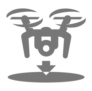
The Entire will automatically connect the camera via USB and upload all coordinates saved from the mission into the EXIF of each photo. Entire can tag JPG file and also RAW (ARW). Tagging is very fast, 100 photos take only 30 seconds to be tagged, and it does not matter if JPG or RAW is tagged.
“That’s how simple your photogrammetry process can be with the AIR Commander Entire.”
The Entire has also advanced features for triggering without external trigger signals. With built in timer you can define cycle time in steps of 0.5s. This timer will start automatically after start of drone and will be stopped immediately after touchdown. Alternatively you can preset distance between two photographs, Entire will mesure travel length which drone has flown and trigger photo automatically in defined distance.

Automatic trigger
BY TIME
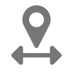
Automatic trigger
BY DISTANCE
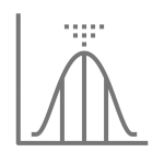
Realtime GPS
FILTERING
Especially for non-RTK drones, we have implemented a very smart postprocessing method for the best possible results saved in the EXIF of your photos. All GPS or RTK coordinates received by the Entire are saved for later statistics magic, our trick is accounting of future positions into the equations. Once a photo is triggered, the Entire will wait a little while for positions after the shot time. Postprocessing then adds previous and also following positions to achieve the most accurate photography position.
GPS
coordinates
GIMBAL
angles*

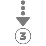
TRIGGER
photograph
* Gimbal angles sensing is available only for DJI drones equipped with DJI or Gremsy gimbals. For PixHawk driven drones only Gremsy gimbal angles can be readed and saved to the EXIF(XMP).
For PhaseOne iXM series the Entire can remotely configure the camera, trigger photo and also forward the GPS information from PixHawk / DJI to the camera. Geotagging process is done by the camera automatically when picture is triggered. GPS forwarding is done by reading of MavLink / DJI API and forwarding them in NMEA format to the camera API port. Camera angle is also saved to the EXIF when Gremsy or DJI gimbal is used.
Available at:
Airpixel SHOP